Renaissance Reizen (I) Pvt. Ltd
Recognised by Department of Tourism, Government of India
Safari
MANALI-LEH (TRANS HIMALAYAN)
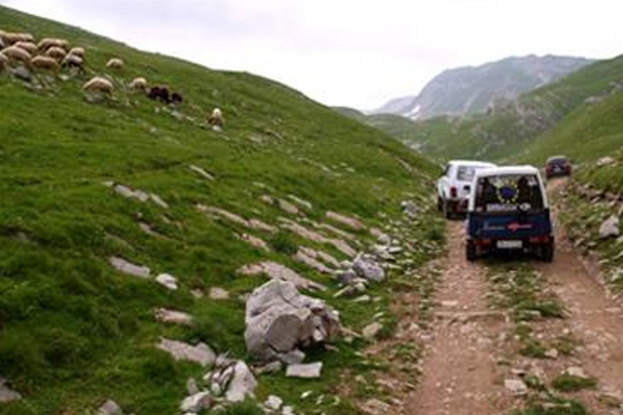
Once restricted route, Manali to Leh is one of the most exciting drive which takes across high Himalayan passes and txo extensive plains resembling the Prairies of Russia and America. The route which passes the district of Keylong, Lahaul/Spiti, Sarchu takes over one of the two highest passes in Ladakh, Tanglang-la. From the top of the pass, a magnificent view of the Ladakh range of mountains can be seen. The journey takes 2 nights/ 3 days with overnight camping at Jispa and Saarchu.
| Period | : July to September | |
| Duration | : 3 days ex-Manali | |
| Region | : Himachal and Ladakh | |
| Max. Altitude | : 17479 ft. | |

NUBRA VALLEY
Nubra Valley lies in the north of Leh and is accessible over the Khardungla (18350 ft.), one of the highest motorable roads in the world. The valley was on the trade route from Leh to Khagar via Saser and Karakoram Passes. The valley houses several Buddhist monasteries such as Sumur (Khagar) and 350 years old Diskit Gompa, famous for its murals. From Diskit, 7 km, one comes across the Hunder Gompa, a smaller one, belonging to yellow sect. Driving down towards Shyok river, one can visit the village of Tirith & Panamik. The scenery is spectacular, with the snowcapped Karakoram mountains forming the background.
Nubra is also known for its double hump bactrain camels which are found in these areas.
| Period | : July to mid-September | |
| Duration | : 3-4days ex-Leh | |
| Region | : Nubra (Ladakh) | |
| Max. Altitude | : 18380 ft. | |

PANGONG LAKE
Pangong Tso (Lake), 150 km long and 4 km wide, is nearly an inland sea at a height of 14000 ft. with intensely clear water of an incredible range of hues of blue. Having no outlet, the water in the lake is highly brachkish and lake's basin houses a large wealth of minerals deposited by the melting snows every year. The Pangong Lake, extending from east to west through the whole length fo the Ruthog region of Tibet to neighbourhood of Chisul, it bends to the north west about 25 miles. Only a quarter of the lake lies in India. The rest stretches into Ruthoo in China. Rare black necked cranes and other migratory birds are seen here.
| Best Period | : July to mid-September | |
| Duration | : 3-4 days ex-Leh | |
| Region | : Tangtse (Ladakh) | |
| Max. Altitude | : 17,350 ft. (Chang La) | |

TSO MORIRI
The lake is situated in the middle of the elevated district of Rupsu. Its name is characteristic of its situation nestled in the midst of 2000 ft. peak which completely shut the lake in. The valley of Rupsu is inhabited by a small scattered population of Changpas niomadic shepherds. The area is rich in wildlife including the Kyang (Wild Ass), red-fox and the rare highly endangered snow leopard. Black necked cranes and geese flock to the lake-side for breeding during the summer months.
| Best Period | : July to mid-September | |
| Duration | : 3-4 days ex-Leh | |
| Region | : Rupsu Valley (Ladakh) | |
| Max. Altitude | : 16,500 ft. (Chang La) | |

KINNAUR, LAHAUL & SPITI
Kinnaur, tribal district of Himachal Pradesh; Lahaul & Spiti - two remote Himalayan Valleys have recently been opened to the foreign tourist. the route Simla-Manali lies in difficult terrain, rough road and inclement weather conditions passing over the highest pass - Kunzum - 4800 mt. and Kibber village - 4550 mt. Kinnaur lies in the lap of high Himalayan mountainous rugged and rough terrain which has fascination and beauty of its own. Lahaul and Spiti, lying on the Indo-Tibet border, strange, exciting, primitive, these valleys are unserpasses in mountain scape, in the rugged beauty of their rocks escapements and the splendour of their snow covered peaks. Lahaul is also a fascinating area for Buddhist art and culture. The monasteries of Lahaul-Spiti are rich in murals, thankas, wood carvings and golden image of Padmasambhava.
Routing : Simla-Sarhan (176 km)-Sangla (94 km)- Pooh (152 km) - Tabo (70 km)- Kaza(70 km)- Manali (196 km)
| Best Period | : July to mid-October | |
| Duration of safari | : 8-9 days (ex-Simla to Manali) | |
| Region | : (Himachal Pradesh) | |
| Max. Altitude | : 4551 Mt. |

KATHMANDU TREK
This programme is specially designed for those who have not been on the trek or prefer an easy trek. The seven days trekking itinerary take the visitor past fields, hamlets and forests with a backdroop of mountains and some historical and cultural centres. The trek also provides view of the high peaks like Ganesh, Gangtong, Jugal Himal. The trekking route covers Sundarijal-Borla Bhanjyang-Pati Bhanjyang-Khaka-Tarke Ghyang-Kakani and back to Kathmanu.
| Season | : Round the Year | |
| Region | : Kathmandu Valley | |
| Highest Altitude. | : 3000 m | |
| Duration | : 47 days |

ANNAPURNA SANCTUARY
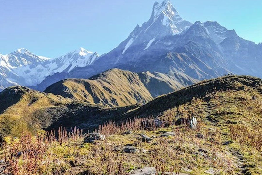
The Annapurna range situated in central Nepal has one of the most dominating himalayan panorama. Placed just north of Pokhara the range from west to east consists of Annapurna south face (7219 m), Gang (7647 m), Gangapurna (7455 m), Annapurna III (7555 m), Annapurna IV (7525 m) and Annapurna II (7925 m). The Annapurna south face base camp is known as Annapurna Sanctuary, and in this trek the route followed is into the heart of the Annapurna range. The trek is not very difficult and most ideal for a closeup view of the mountains. The trek is best suited for early autumn or late spring as the chance of the route getting snow bound during the winter months is high.
| Season | : April to October | |
| Region | : Central Nepal | |
| Highest Altitude | : 3960 m | |
| Duration | : 12 days (ex/to Pokhara) |

THYANGBOCHE
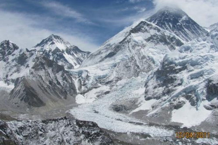
This trek into the Everest country is a short one and one that is intended as an introduction to the Khumbu area. It is also for those not sure about trekking into the mountains, but at the same time want to get a feel of the Himalayan air and savour the scenery. The trek to Namche and Thyangboche is a popular one and is likely to encounter heavy traffic. The sight of the Everest and the surrounding peaks makes it worthwhile.
| Season | : March to November | |
| Region | : Eastern Nepal | |
| Highest Altitude | : 3876 m | |
| Duration | : 7 days ex-Kathmandu |

KANCHENJUNGA
Kanchenjunga is situated on the eastern border of Nepal. Its main peak is the third highest in the world (8586 m). Several other peaks in the Kanchenjunga range are over 8000 m. This trek to this area is probably the best that trekking has to offer in terms of natural beauty. Travelling into the Yalung glacier and over the Lapsang La and down the difficult route back to Taplejung is an unforgettable experience. However, as the trip crosses the 4000m mark several times, one must take care of high altitude sickness.
| Season | : April to October | |
| Region | : Eastern Nepal | |
| Highest Altitude | : 4560 m | |
| Duration | : 18 days Kathmandu to Biratnagar |

Free Travel Plan Suggestion - Ask for a Quote for FREE |


